Every three seconds encrypted messages that could predict disaster and save lives are being transmitted across Catalina Island.
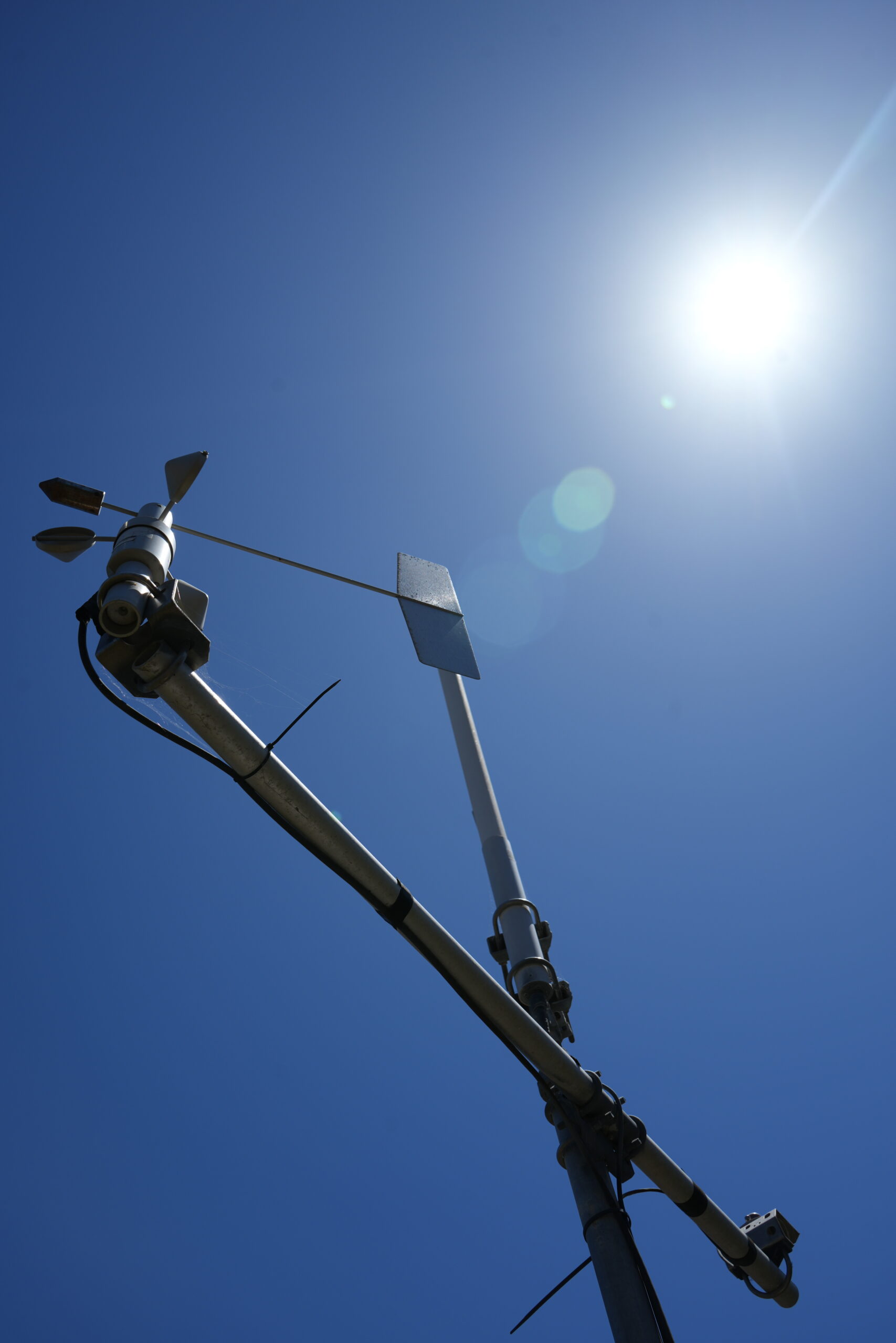
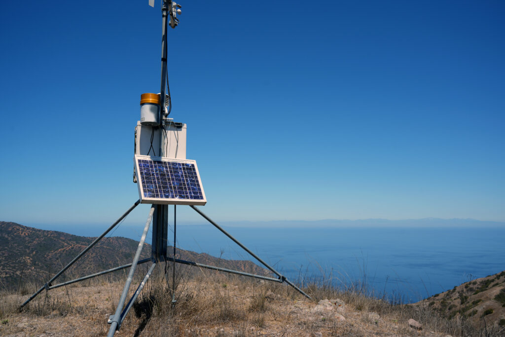
A series of 11 weather stations funded by the Catalina Island Conservancy and maintained by the Desert Research Institute are constantly collecting information about humidity, temperature, precipitation and solar radiation – all factors in fire risk. A few of them also record soil moisture levels from 4 to 20 inches deep, depending on soil quality.
Asked whether the stations are essential for fire mitigation, Associate Research Scientist at the Desert Research Institute Greg McCurdy didn’t miss a beat.
“Yes, in fact not only mitigation, but then if there’s [a fire], combatting and fighting it,” he said. “They’ll use data from these stations to see where the fire is going to go, how quickly it is going to move.”
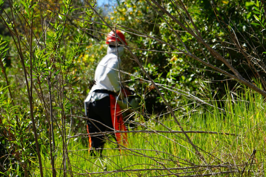
Knowing the weather conditions on the ground, firefighters can better respond to a wildfire by understanding its potential direction and speed, slowing its spread to save lives, property and wildlands. From his office in Reno, McCurdy and his team analyze the data collected by the stations on Catalina. To ensure the stations are working properly, McCurdy makes an annual trek to the Island, visiting each site to assess its functionality. He’s been doing this work since the stations were first erected about two decades ago.
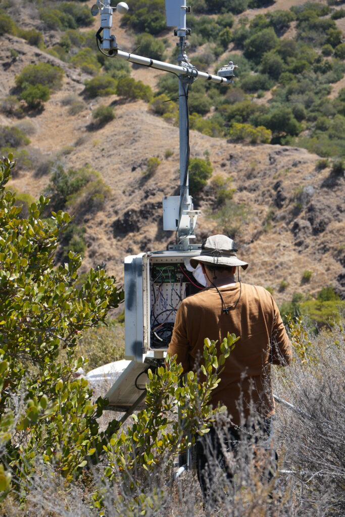
“Initially it started out by looking at the lower and mid-level canyons to look at varieties of impacts of the Pacific Ocean weather, channel weather and north end weather,” he said. “Originally, there were three stations planned – Wild Boar, Parson’s Landing and one below here at White’s Landing, to look at vegetation and the environmental impact.”
But after the 2007 Island Fire tore through more than 4,750 acres in the hills north and west above Avalon, a series of additional stations were added. That was in part due to the resulting threat of rockslides near Avalon K-12, the local school in town.
“We do have stations above the school that are monitoring to watch the recovery from that fire,” said McCurdy. “The data from all the stations can be put into fire forecasting. All that data from all the stations is then telemetered to NOAA (National Oceanic and Atmospheric Administration).”
During his August visit, McCurdy determined the station atop the Avalon K-12 school was in need of major improvements, including a battery. This station is especially important, he said, because it acts as a hub by centralizing the data from the other stations around the school.
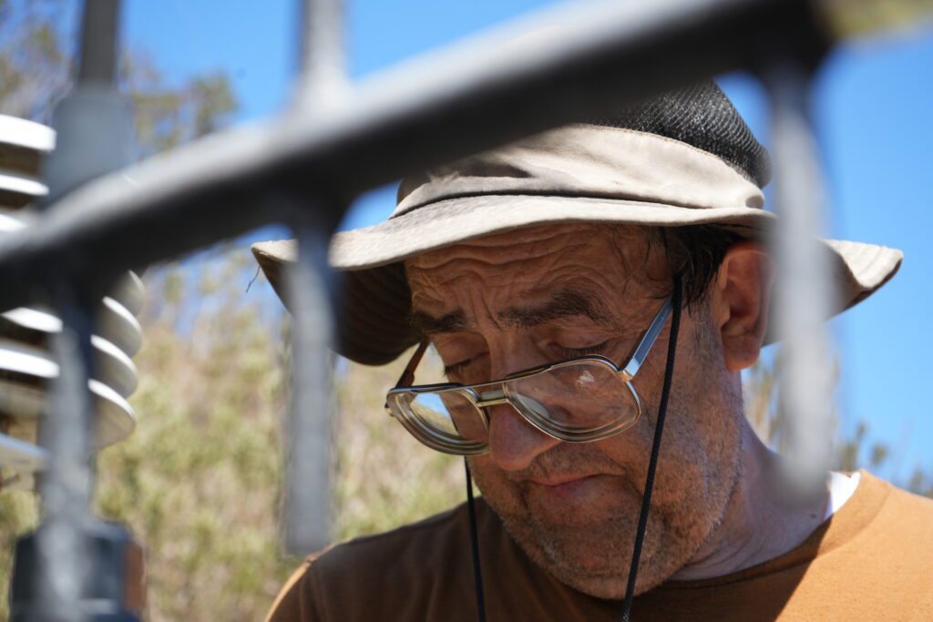
Keeping the stations operational involves assessing the instrument for damage from weather, animals or insects, replacing faulty parts, cleaning out debris and removing moisture with desiccant, a substance that absorbs moisture from its surroundings. Though unassuming in their appearance, these stations not only produce critical information for wildfire response on the Island, but they can help predict weather threats to the mainland.
“It’s not unusual at all that you’ll see a system moving off the ocean [toward mainland]. It definitely hits the Island before the mainland,” he said. “You can actually see precipitation rates increase here and you can watch the radar and satellites, so it’s a confirmation of what’s happening here.”
The Island is known for dead spots and limited cell service, so weather instruments can’t rely on regular networks. Instead, they record measurements every three seconds and send the information by satellite. All of this information is saved and used to track and report changes in the weather.
And these details, especially soil moisture and solar radiation, provide important insights to scientists about conservation efforts. Without the weather information, McCurdy believes it would be more difficult to determine what environmental conditions were impacting vegetation on the Island.
“It’s possible to focus on certain areas with the native plants and see [if there are] areas where they’d thrive better. With these stations, you can kind of quantify that information a little better,” he explained.
After a week of hiking to the stations across Catalina with Conservancy staff, McCurdy and his two colleagues completed their assessments and repairs, ensuring the stations will keep collecting important informationabout island weather. As the threat of climate change continues, early insights into weather-related threats will be increasingly valuable for preserving life of all kinds on Catalina Island.
Visit the Conservancy’s wildfire awareness website to learn more about daily conditions and fire threat, as well as ways to reduce fire risk.
Through a long-standing partnership with the Desert Research Institute, the Conservancy provides access, logistical support and on-the-ground expertise to keep these weather stations running.
Your support strengthens this vital collaboration.
Give today to help protect Catalina’s people, plants and wildlife from the growing threat of hotter, drier conditions.